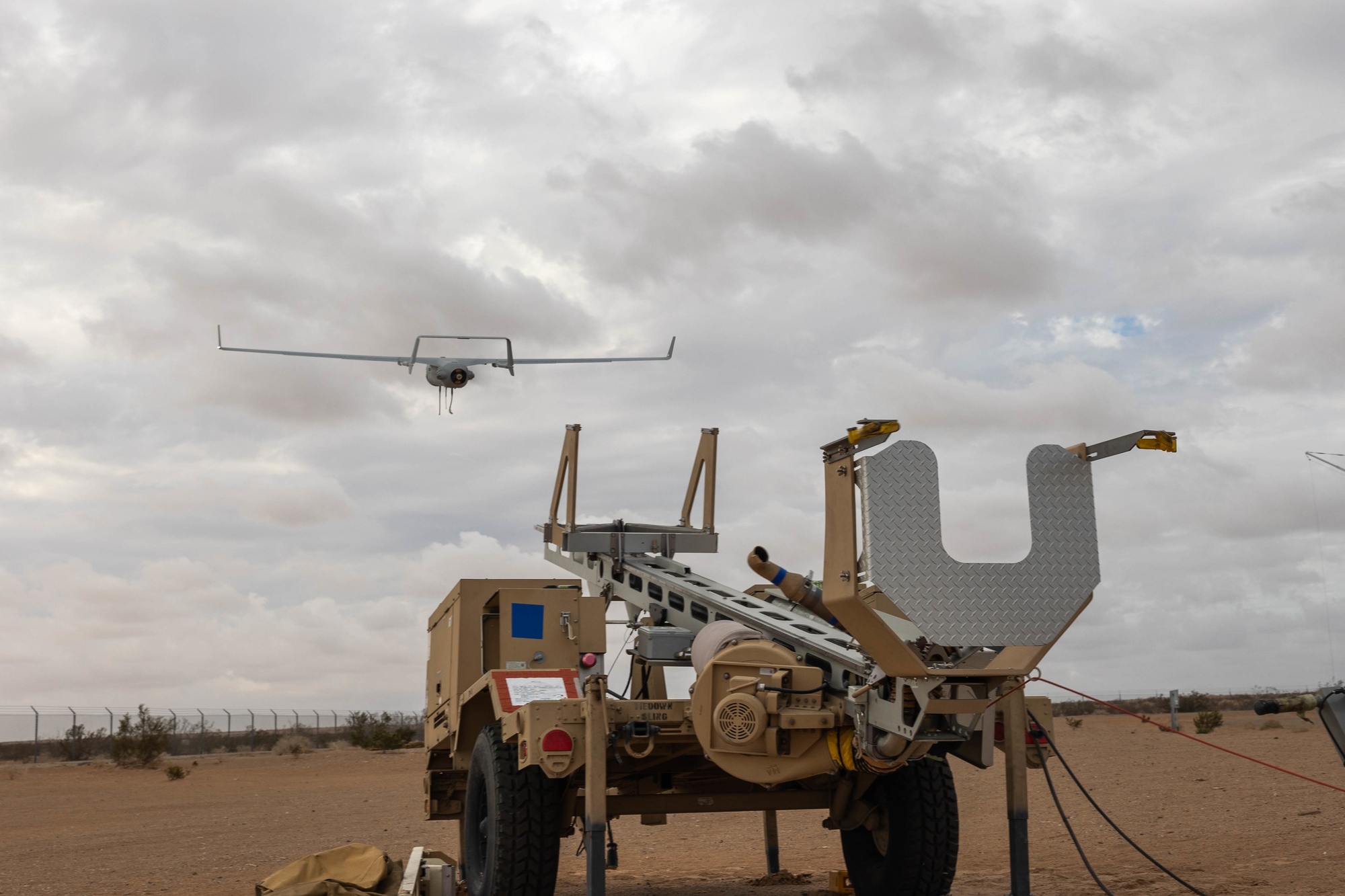
The European Defence Agency (EDA) reported on 16 October that its AIRSENSE positioning system was tested on a commercially available uncrewed aircraft already in Spanish Army service during September's REPMUS 2026 exercise in Portugal. AIRSENSE forms part of the €1.2 million, four-year USESXI project conducted by GMV and Indra. Its purpose is to maintain navigation when satellite positioning is absent, degraded or interfered with. EDA says the aircraft flew more than 100 kilometres from its ground station and reached 2,100 metres altitude. Those figures describe the exercise flight, not a quantified navigation accuracy or endurance result.
What the test demonstrated
EDA says the image-based navigation software ran on the aircraft in real time, rather than relying on post-flight processing or a ground-station data link. The project combines onboard sensors and algorithms to estimate position from the surrounding scene when GNSS cannot be trusted. This matters because a navigation method that needs continuous ground processing can itself fail when a communications link is disrupted. The release does not identify the aircraft model, publish a position-error series or specify how long GNSS was denied.
The agency reports that the method stayed close to the aircraft's true position over land. It was less effective over the sea, where the imagery offered fewer recognizable landmarks. The distinction is operationally significant: success over textured terrain cannot be assumed to transfer to open water. EDA says it will prioritise land operations and test the system again at REPMUS 2027.
Status and next evidence
This was an exercise demonstration of an onboard navigation method, not certification or acceptance of a complete operational system. EDA explicitly identifies development into a standards-compliant operational system as the next step. Independent error measurements, repeatable trials in different terrain and weather, and a named military acceptance decision would support stronger claims. The site's mission-autonomy and communications guides provide context for assessing this and other GNSS-denied navigation systems.
Publication history
- — Added EDA-reported onboard navigation exercise result and its distinct over-water limitation, without implying operational acceptance.
Suggest a correction to this entry
Follow the evidence
Source types identify who makes the claim. Programme milestones and supplier statements should be read in context.